

Earlier I thought differently, many thanks for the information.
__________
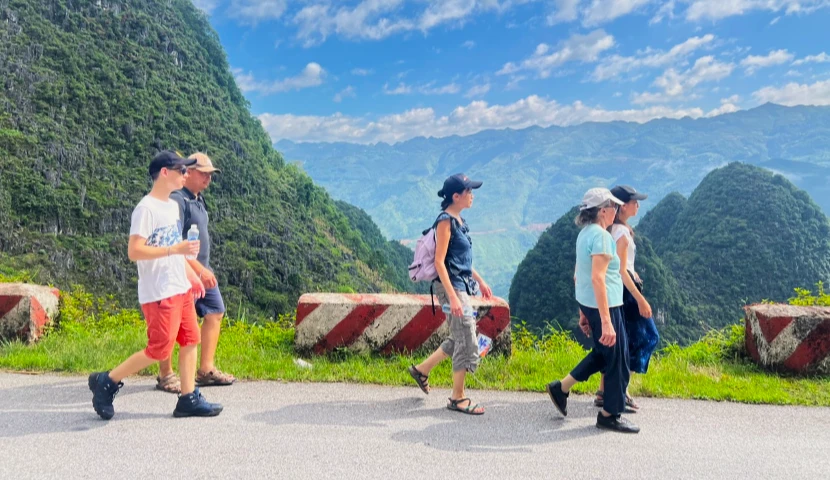
Ha Giang is often explored along its mountain roads and famous passes, but travelling on foot reveals another side of the region. Away from the pace of a conventional tour, trekking in Ha Giang gives you more time to take in the scenery, understand villages and interact with local people. For travellers, it is also one of the best ways to fully experience the atmosphere of the mountains of northern Vietnam.
Discover the landscapes differently and travel at a slower pace
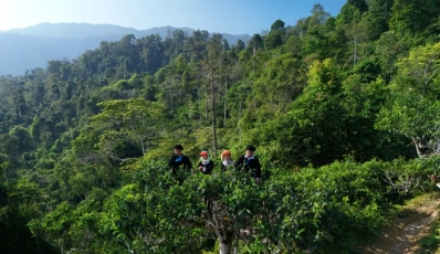
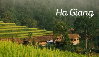
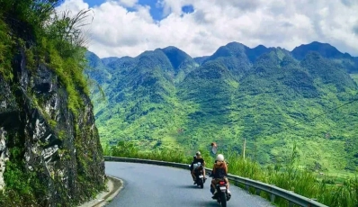
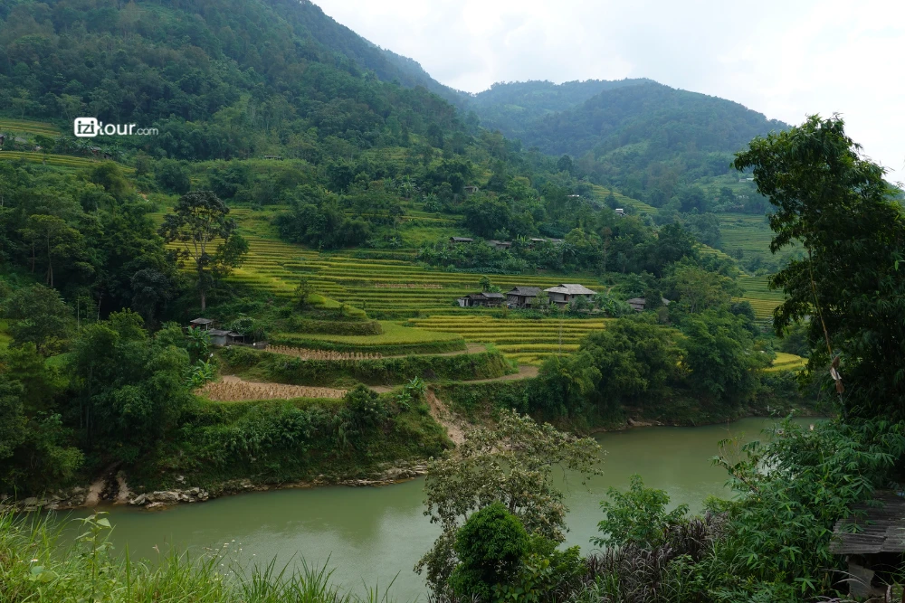
On foot, the landscapes of Ha Giang gradually unfold before you. Trails cross limestone mountains, green valleys, terraced rice fields and small villages that are sometimes difficult to reach by car. Each climb reveals a new viewpoint, while walking gives you time to stop, photograph the scenery or simply enjoy the tranquillity.
This way of travelling also reflects the idea of slow travel. After several hours of walking, you begin to notice more of the details: people working in the fields, houses beside the trail or children playing in the village. Many travellers particularly appreciate this feeling of slowing down and disconnecting from everyday life, far from the bustle of large cities.
Immerse yourself in the life of local communities
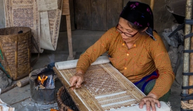
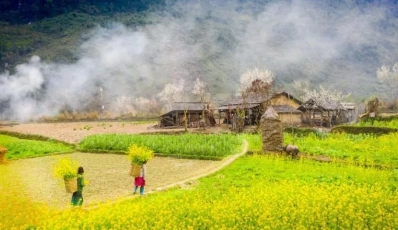
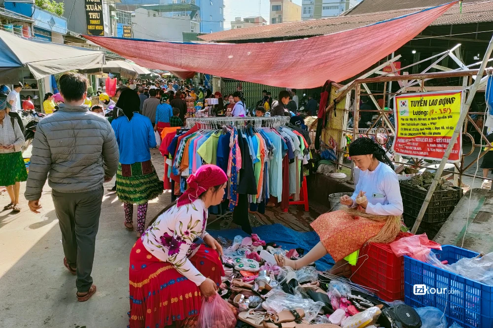
Trekking in Ha Giang is not only about the landscapes. The trails often pass through villages inhabited by different ethnic communities, including the Hmong, Dao, Tay and Lo Lo. When travelling on foot, encounters with local people happen more spontaneously, offering opportunities to observe scenes of everyday life: farming, livestock raising, handicrafts or work in the rice fields.
We often find that these small moments are what remain in travellers' memories the longest: an encounter with a family, a few words exchanged with a local resident or a break in a local home. Trekking then becomes a genuine cultural immersion experience, rather than simply a hike through the mountains.
Stay active and take on a real physical challenge
Trekking in Ha Giang also requires a certain level of physical effort. Mountain trails, climbs and sometimes uneven terrain can challenge your legs and stamina, particularly on hikes lasting several hours or on multi-day treks.
But this physical element is also part of the experience. Reaching a village after a climb or completing a long day of walking brings a real sense of achievement. You do not need to be an experienced hiker to discover Ha Giang on foot: you simply need to choose a route suited to your fitness level and experience.
Ha Giang can be explored throughout the year, but each season offers a different atmosphere for hiking. Depending on when you visit, trekkers can admire spring blossoms, water-filled rice terraces, the golden landscapes of autumn or the region's famous buckwheat flowers.
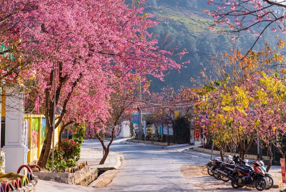
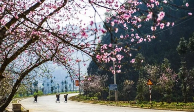
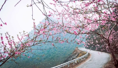
Spring transforms the mountains of Ha Giang into a colourful landscape. From February to March, peach, plum, pear and mustard flowers appear throughout the villages and valleys. It is a particularly pleasant period for trekking, as nature comes back to life and temperatures are generally mild.
Who is it for? Travellers who want to prioritise flowers, villages and the spring atmosphere rather than golden rice terraces.
>> Also read: A dream journey: Discover the Ha Giang Loop in february
From May onwards, the landscapes become particularly green. In agricultural areas, the terraced rice fields gradually fill with water, creating beautiful reflections across the valleys. In July and August, however, temperatures can be high and monsoon rains become more frequent. For trekking, you should therefore be prepared for more humid conditions and sometimes slippery trails.
Who is it for? Travellers who enjoy green landscapes and water-filled rice terraces and who are comfortable with more changeable weather.
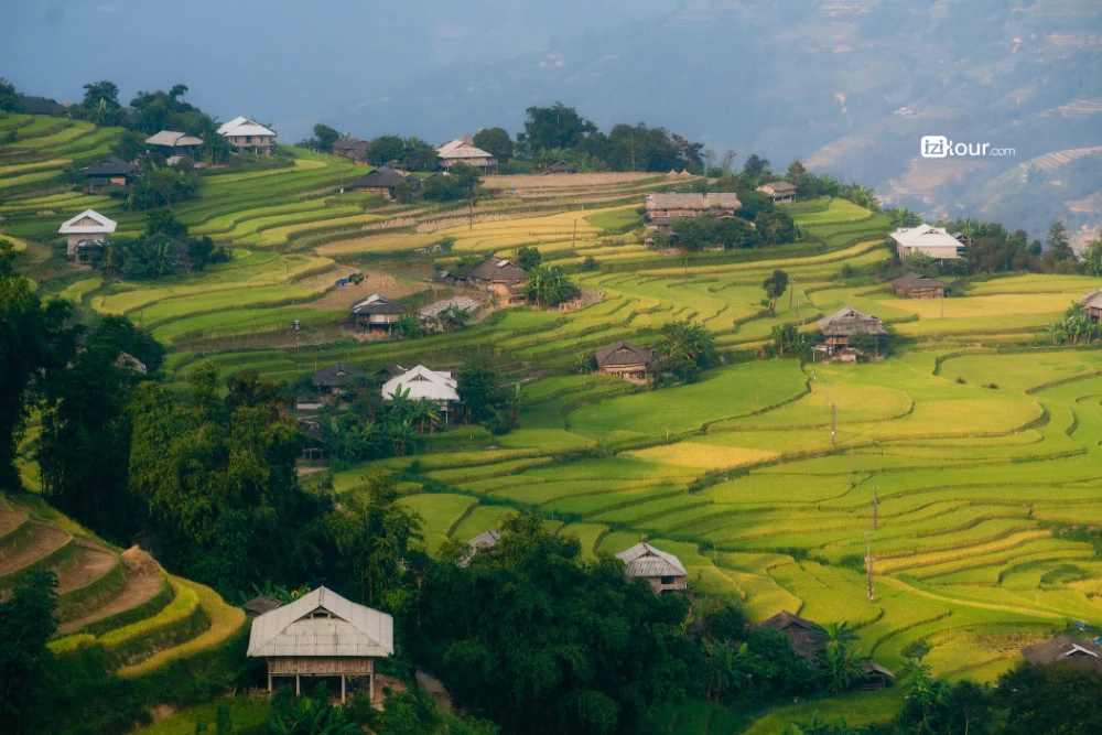
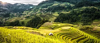
For many travellers, autumn is one of the most interesting periods for trekking in Ha Giang. September and October in particular coincide with the season of golden rice terraces, while temperatures become cooler and more comfortable for walking. From late October, the first buckwheat flowers begin to appear. They are initially white, then turn pink in October and November before taking on more reddish shades towards the end of the year.
Who is it for? Travellers interested in trekking, photography, terraced rice fields and the iconic landscapes of Ha Giang.
In winter, Ha Giang takes on a completely different atmosphere. Temperatures are cooler and the landscapes can be shrouded in mist, particularly in mountainous areas. The end of the buckwheat season may still bring a few touches of colour, while the villages become quieter.
This period is better suited to travellers looking for a more peaceful experience and an authentic atmosphere, rather than a succession of flower-filled landscapes. You simply need to bring sufficiently warm clothing for trekking at higher altitudes.
>> Also read: Ha Giang Loop in December: A unique experience
Ha Giang offers a wide variety of routes, from relatively accessible walks through villages and rice fields to more demanding climbs to high mountain peaks. Depending on your level and interests, some routes focus more on encounters with local communities, while others are centred on mountain landscapes and panoramic views.
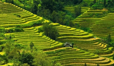
Hoang Su Phi is one of the best choices for combining trekking with cultural immersion. The trails cross vast terraced rice fields and several villages inhabited notably by the Dao, Hmong and La Chi communities. Walking allows you to discover the agricultural landscapes while observing local daily life. It is particularly interesting in September and October, when the rice fields take on their golden colours.
A typical route covers around 9 km, with nearly 600 m of elevation gain, and includes some fairly steep climbs and descents. The altitude in the area generally ranges from 900 to 1,600 m. Trails can be uneven and slippery, particularly after rain.
At around 2,402 m above sea level, Chieu Lau Thi is one of the highest peaks in the region. The trek takes place in the Ho Thau area of Hoang Su Phi, following a route of around 9 km return with nearly 1,600 m of cumulative elevation gain, depending on the recorded route. The hike can take approximately 2 to 4 hours, although the duration depends greatly on your pace and the weather conditions.
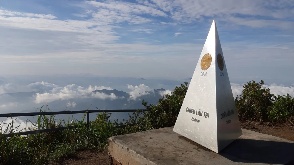
The terrain gradually becomes more mountainous, with forest trails, steep slopes and rocky sections. The main objective is often to reach higher ground to enjoy the panoramic views and, when conditions are favourable, the famous sea of clouds.
The period from September to December is particularly popular for trying to see the clouds, while the scenery also changes in spring and during the rice-growing season.
Reaching approximately 2,428–2,431 m, Tay Con Linh is the highest peak in the region and offers a much wilder experience. Some trekking routes extend for 18 to 32 km, with more than 2,000 m of cumulative elevation gain on complete circuits.
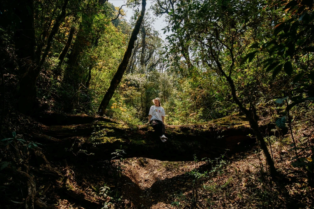
The route passes mainly through subtropical forests, bamboo groves, narrow trails and old Shan Tuyet tea plantations, with some particularly steep sections. A route from Cao Bo can cover around 13 km depending on the chosen trail, while summit expeditions are generally organised over several days.
For a first mountain trek, this is therefore not necessarily the best option. Shorter routes around Cao Bo, however, allow travellers to discover part of the massif without undertaking a full expedition.
For those looking for more dramatic panoramas, Vach Da Trang, also known as Skywalk Trail or the White Cliff, is another iconic location. Situated in the area around Ma Pi Leng Pass, this rock face offers impressive views over the mountains and the Nho Que River.
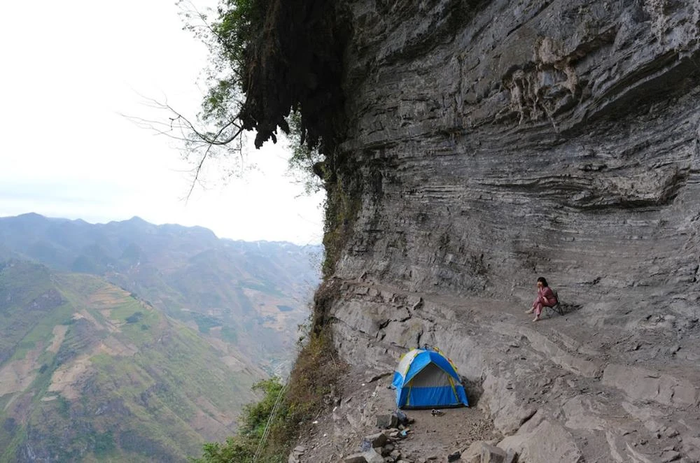
The official hiking route covers around 5 km between Xeo Sa Lung (Pai Lung) and Ma Pi Leng (Pa Vi). It is considered moderately difficult and can be suitable for beginner hikers with a reasonable level of fitness. The terrain mainly consists of concrete paths and small trails, with a few exposed sections. The cliff is situated at an altitude of around 1,700 m.
It is worth noting that reaching the trailhead may itself require a motorbike journey along a narrow mountain road before the walk begins.
For an experience focused more on cultural immersion, the areas around Dong Van, Meo Vac and Du Gia make it possible to create hiking routes linking villages, valleys and karst landscapes.
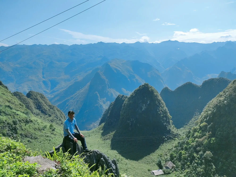
There is, however, no single route with a fixed distance and elevation gain: the itinerary depends on the villages selected and the trails used. Some trekking circuits across the karst plateau extend for 25 to 35 km over several days, while walks around individual villages can be much shorter.
The Ma Pi Leng area is particularly interesting for ridge trails and panoramic views over the Nho Que Canyon, while Du Gia offers more green valleys, rice fields and rural villages.
For a first experience, starting from Skywalk Trail or Hoang Su Phi can be a good option. Travellers looking for more of a physical challenge can consider Chieu Lau Thi, while Tay Con Linh is better suited to experienced hikers. In all cases, a local guide can help adapt the itinerary to the group's level and introduce less-frequented trails.
Here are several tour ideas for discovering Ha Giang through its landscapes, villages and most beautiful hiking trails, depending on the length of your stay and your level.
Day 1: Hanoi - Hoang Su Phi
Day 2: Trek and explore the mountains, tropical forests and terraced rice fields
Day 3: Trek and explore plantations, terraced rice fields and bamboo forests; visit a Tay village
Day 4: Walk through bamboo forests and terraced rice fields, have lunch in a Red Dao village, then return to Panhou Retreat
Day 5: Return to Hanoi
For travellers who would like to extend the adventure beyond Ha Giang, it is also possible to combine the region with Ba Be, Bao Lac or Cao Bang for a more complete immersion in North-East Vietnam.
Day 1: Hanoi - Ha Giang
Drive to Ha Giang, easy hike through Me - Lup - Tha villages, meet Tay people
Day 2: Ha Giang - Dong Van
Dong Van Karst Plateau Geopark, Fairy Twin Mountains, Hmong and Bo Y ethnic commune, Hmong King's Palace
Day 3: Dong Van - Bao Lac
Travel from Dong Van to Bao Lac, cross Ma Pi Leng Pass, explore Lo Lo and Hmong minority cultures
Day 4: Bao Lac - Ba Be
Meet the San Chi ethnic community in a village hidden in the hills, explore Hua Ma Cave, overnight stay with a Tay family
Day 5: Ba Be - Hanoi
Relax on board a boat, explore Puong Cave and Dau Dang Waterfall, return to Hanoi
Discover North-East Vietnam in 5 Days
Day 1: Hanoi - Ha Giang
Day 2: Ha Giang
Day 3: Ha Giang - Dong Van
Day 4: Dong Van
Day 5: Dong Van - Bao Lac
Day 6: Bao Lac - Ba Be
Day 7: Ba Be
Day 8: Ba Be - Hanoi
Explore North-East Vietnam in 8 Days
Day 1: Hanoi - Ha Giang
Day 2: Ha Giang
Day 3: Ha Giang - Dong Van
Day 4: Dong Van
Day 5: Dong Van - Bao Lac
Day 6: Bao Lac - Cao Bang
Day 7: Cao Bang
Day 8: Cao Bang - Ba Be
Day 9: Ba Be
Day 10: Ba Be - Hanoi
North-East Vietnam in 10 Days from 830$
Before heading out onto the trails of Ha Giang, a few precautions can help you make the most of the experience while respecting the environment and local communities.
Hikes in Ha Giang can range from a walk lasting a few hours to a multi-day trek with significant elevation gain. It is therefore preferable to choose a route suited to your fitness level, experience and walking pace.
Good hiking shoes are essential, particularly during the rainy season when some trails can become muddy and slippery. You should also bring water, sun protection, waterproof clothing and layers suitable for changing mountain temperatures.
Use a local guide
For more isolated routes, a local guide is strongly recommended. They know the trails, terrain conditions and villages along the way, and can also help facilitate communication with local communities.
Respect local people and their environment
When passing through villages, always ask for permission before photographing residents or their homes. Avoid touching ritual objects or entering private spaces without being invited. Finally, keep the trails clean and avoid leaving any rubbish behind.
Allow enough time
Do not try to fit in too many stages. One of the main attractions of trekking in Ha Giang is having the time to slow down, observe the landscapes, stop in a village or share a meal with a local family. A less crowded itinerary often allows for a much more authentic experience.
Trekking in Ha Giang is about more than simply covering a few kilometres through the mountains. It is a way to slow down, reconnect with nature and discover the lives of local communities along the trails. Between terraced rice fields, limestone mountains, ethnic villages and encounters with local people, each hike offers a new perspective on northern Vietnam.
At IZITOUR, we create tailor-made itineraries that can include hikes suited to your level and interests, with the option of combining Ha Giang, Cao Bang, Ba Be or other regions of northern Vietnam. Feel free to contact our team to create your Vietnam trekking tour.
>> Read more:





 TRAVELERS' CHOICE 2026